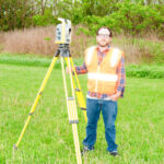
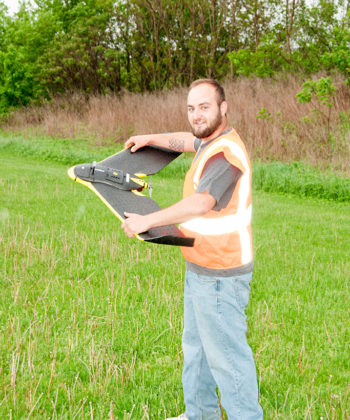
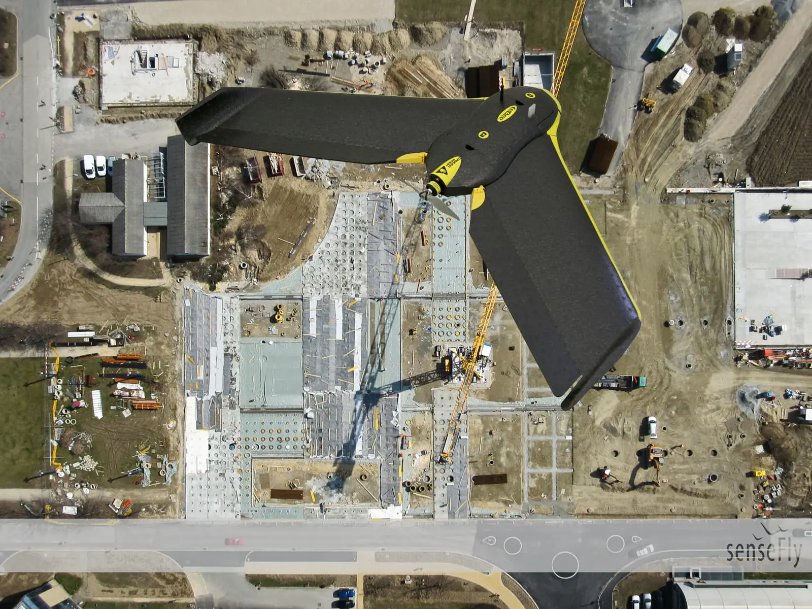
At Deibel Surveying, we utilize the latest technology in sUAS (Small Unnamed Aircraft System) —more commonly known as drones—to obtain accurate ground elevations.
Aerial Mapping Service
Serving Stark County, Canton, Massillon, Akron, Cleveland, Dover, New Philadelphia and Northeast Ohio.
Using this technology vastly reduces the time spent collecting accurate data. Large jobs that once took weeks can now be completed in just a few days. A week’s worth of traditional data collection is now achieved in just one day.
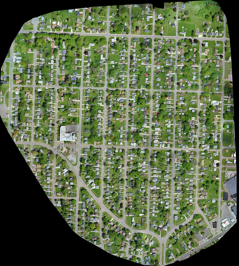
These GNSS/RTK receiver systems are effectively flying rovers, capable of receiving data corrections streamed from a base station or via VRS to achieve absolute X, Y, Z accuracy of down to 3 cm (1.2 in) without needing Ground Control Points. By acquiring raster data from the sky in the form of geo-referenced digital aerial images with resolutions as sharp as 1.5 cm (0.6 in) per pixel, we can gather millions of data points in one short flight.
Common usage for geo-referenced images include engineering and planning, construction progress documentation, pipeline route feasibility study, verification utility route encroachments and G.I.S. environmental mapping. Common usages for an accurate elevation contour map (3D map) include engineering designs, draining studies, as-built documentation, environmental studies, and cut/fill, pay and material storage quantities.
Our professional-grade instruments, backed by our years of experience in aerial photography and mobile mapping, make Deibel Surveying stand out from the competition. Please contact us today to learn how we can put our drone aerial mapping experience to work for you. Serving Stark County, Canton, Massillon, Akron, Cleveland, Dover, New Philadelphia and Northeast Ohio.
We serves private clients, public agencies, and municipalities.
Let’s Discuss Your Project Needs Today
Partner with a trusted surveying team that delivers accuracy, reliability, and results—on time and on budget.
Whether you’re developing land, planning construction, or need precise data for real estate or environmental work, Deibel Surveying Inc. is here to help.

