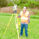
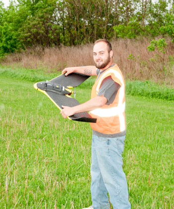
Boundary Surveys pursuant to OAC 4733-37 are just what the name implies: a survey to establish the boundary lines of a property. Professionals take care in research and investigation of the property, field work, and solving the boundary.
Boundary Surveys Service
Serving Stark County, Canton, Massillon, Akron, Cleveland, Dover, New Philadelphia and Northeast Ohio.
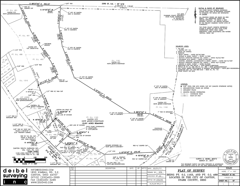
Deibel will then use historical data, monumentation (stones, axles, pipes, steel rods, etc.) found in the field, and current county monuments to determine the true property. If the property corners are missing or determined to be incorrect, we will set a 5/8” steel rod according to the standards per the OAC. A Map of Survey will be provided as well.
These surveys are normally described by Metes and Bounds, and may require extensive research of adjoining deeds, original government surveys, highway plans, etc. A Boundary Survey usually requires fieldwork on neighboring lands to verify or find existing monumentation.
Because many deeds were prepared in an office and not actually surveyed, and because others are just poorly written, it may require extra research and fieldwork to determine the property lines. The corners should be marked in accordance with existing state standards, and the owner receives a drawing depicting what corners were set and what corners were found, and the relationship between deed lines and lines of possession.
Companies and Municipalities
We serves private clients, public agencies, and municipalities.
Let’s Discuss Your Project Needs Today
Partner with a trusted surveying team that delivers accuracy, reliability, and results—on time and on budget.
Whether you’re developing land, planning construction, or need precise data for real estate or environmental work, Deibel Surveying Inc. is here to help.

