What do Drones, LiDAR Mean for Aerial Surveying, Mapping?

- Deibel Surveying Blog

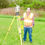
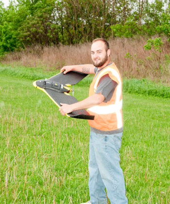
Now is a special time for geospatial service providers. Many call it as important a time in the history of geospatial technology as the introduction of geographic information systems (GIS). Arguably, unmanned aerial systems (UAS) and 3D data acquisition tools are undergoing some of the most notable innovations, impacting aerial surveyors and mappers most.

The Association for Unmanned Vehicle Systems International (AUVSI) projects that drones will have an economic impact of $82 billion by the year 2025. According to the most recent POB Laser Scanning Surveying Trends study, 19 percent of respondents reported using UAS in 2015, compared to 38 percent in 2016. Over the same time period, the use of photogrammetric cameras slightly decreased by 9 percentage points, and the use of laser scanning/imaging tools increased by 5 percentage points. While aerial LiDAR use dropped from 33 percent to 18 percent, 69 percent of respondents to the 2016 study report that demand for laser scanning has increased. Read the full article

Share Blog Post:
Nathan Deibel
Survey Crew

Education:
Currently pursuing Bachelor of Surveying and Mapping, University of Akron

Professional Experience:

  • Survey Crew, Deibel Surveying, Inc., Canton, OH (2004-Present)
Jeordan Burkhart
Survey Crew

Professional Experience

  • Survey Crew, Deibel Surveying, Inc., Canton, OH
  • Field Crew at another firm
Aran Deibel
VP/Project Manager

Education

  • Bachelor of Specialized Studies, Ohio University (March 2000)
  • Bachelor of Surveying and Mapping, University of Akron (December 2011)

Professional Experience:

  • Deibel Surveying, Inc., Canton, OH (2005-Present)
  • Project Manager/Estimator/Controller/Survey Party Chief, American General Finance, San Francisco, CA (2000-2005)
  • District Manager, Deibel Surveying, Inc., Canton, OH (1991-2000)
  • Field crew during school breaks
Curtis G. Deibel
P.S. President/Professional Land Surveyor (#6673)

Education: Bachelor of Science Degree, Mathematics, Kent State University (June 1975)

Professional Experience:

  • Deibel Surveying, Inc., Canton, OH (1991-Present)
  • President, The Beaver Excavating Company, Canton, OH (1980-1991)
  • Head of Survey Department, Hammontree & Associates Ltd., Canton, OH (1979-1980)
  • Survey Party Chief, Robinson, McKelvey and Assoc., Gaylord, MI (1978-1979)
  • Survey Party Chief, Friedl and Harris, Inc., Canton, OH (1972-1977)
  • Field Crew