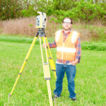
Is surveying art or science? What is your opinion?
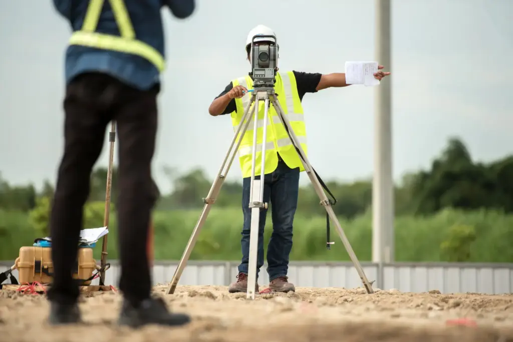
Is surveying an art or a science? That is a question worthy of consideration, because our profession certainly has facets of both. Some elements of surveying are technology based, making it a science, and some are related to history, law, evidence and interpretation, making it an art. The tools we use in surveying undeniably have […]
How to Determine Which Drone Data Processing Solution Fits Your Business Need?
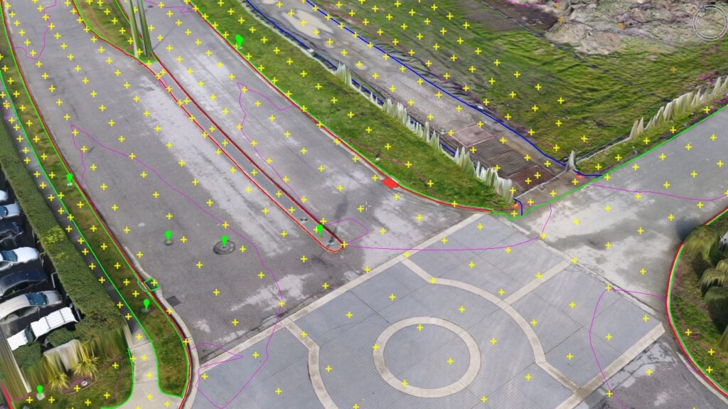
The concept of data being the new oil isn’t a new one, but it recently made waves in the drone space because so many professional have come to realize how much data can be gathered in a safe, reliable, and cost-effective manner. Surveyors in particular have come to understand that they can do more with […]
senseFly Launches New Corridor Mapping Solution
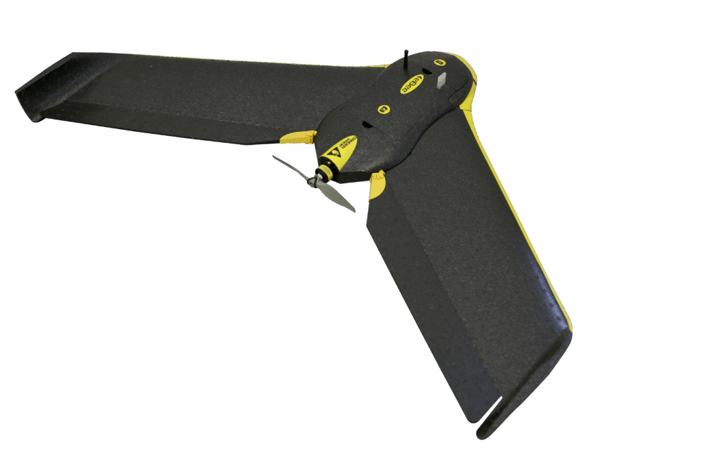
senseFly has announced the release of senseFly Corridor, a new platform enhancement that simplifies the drone mapping of linear infrastructure and sites. It makes its debut at AUVSI Xponential in Dallas. Corridor mapping is a common task for many geospatial professionals and important for the effective planning, design and analysis of linear infrastructure, as well […]
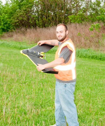
What do Drones, LiDAR Mean for Aerial Surveying, Mapping?
Now is a special time for geospatial service providers. Many call it as important a time in the history of geospatial technology as the introduction of geographic information systems (GIS). Arguably, unmanned aerial systems (UAS) and 3D data acquisition tools are undergoing some of the most notable innovations, impacting aerial surveyors and mappers most. The […]
Drone photography takes the real estate business to new heights
The best real estate agents know that presentation is key in attracting serious buyers. And the bigger the property, the more ambitious the marketing plan needs to be. Today’s savvy buyers do their research online before they even pick up the phone to call an agent. Any agent working to sell a luxury property makes […]