The field crew usually consists of two people. They will establish X,Y, and Z locations at a minimum of 10 foot spacing using an All Terrain Vehicle (ATV) or walking to traverse the coal piles.
With an unobstructed view of the satellite constellation, two Topcon Legacy-E receivers will be used to gather the data using the real time kinematic techniques. A minimum of six satellites are needed to get accurate locations. The GPS and GLONASS, or Russian constellations, are used together to get a larger number of satellites to work in confined and obstructed areas.
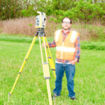
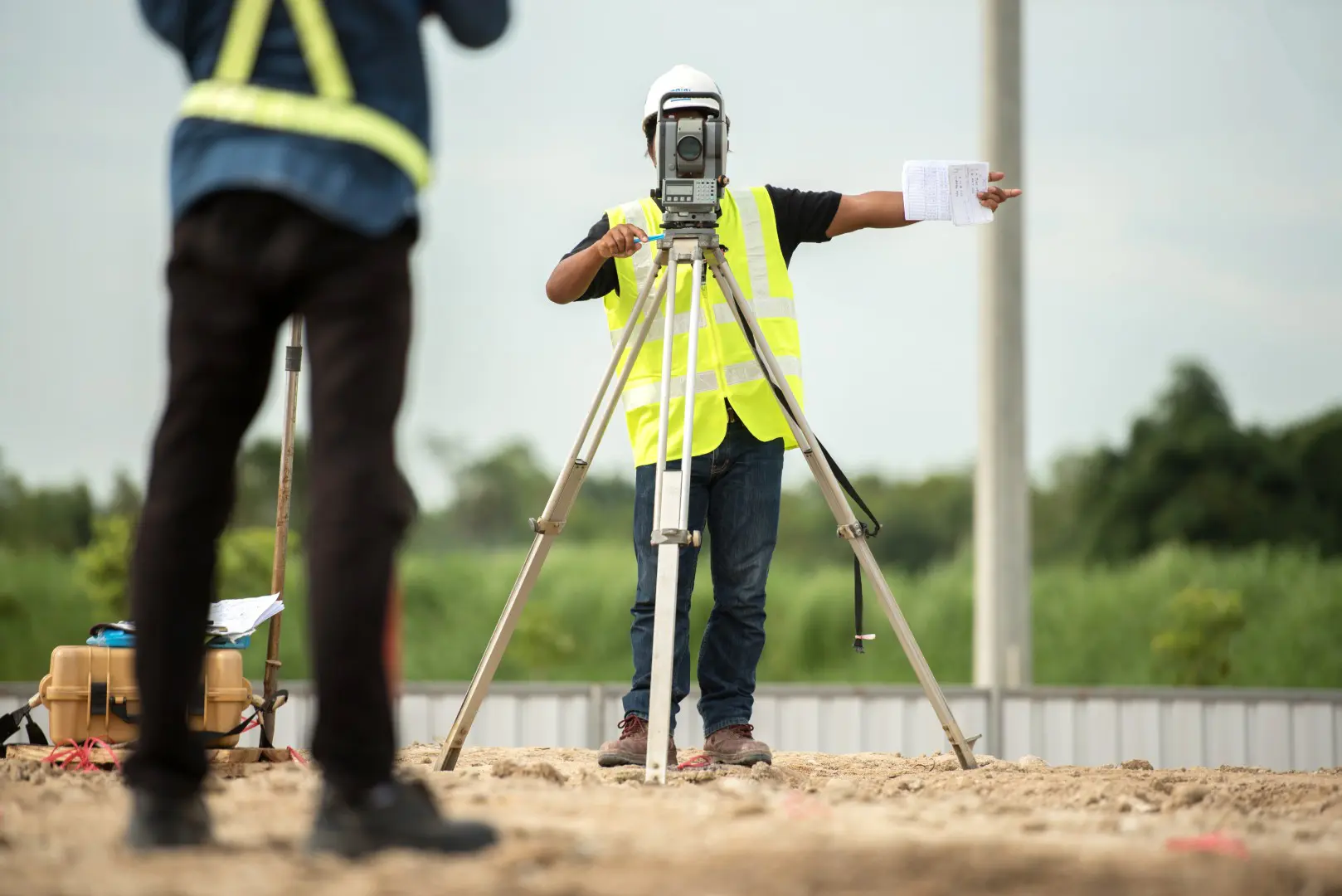
A Direct Read Total Station surveying instrument is also used to establish positions. The Trimble instrument is used when the overhead is obstructed and six satellites cannot be received. The Trimble is also used when surface areas cannot be occupied directly by the ATV or by walking.
Since all data points cannot be recorded at the same time, care is taken to segment the surfaces to be mapped into active and inactive areas. Inactive areas can be mapped at any time, but the active areas need special consideration. Care is taken to isolate those areas so that a time will be recorded that represents a static volume that can be used by the client, and activity on the work area can proceed with little interruption.
The size and shape of the pile is taken into consideration. The perimeter of the pile is mapped in such a way that a continuous break line is drawn around the area to be mapped. Distinctive ridges and valleys are mapped with codes so that break lines will be automatically drawn to provide a well-represented surface. The sides of the piles which are too steep to ride are located by the direct read instrument. The areas of non-compacted material such as push piles and conveyor cone piles are located for application of different coal weights.
All of the data points are read into a computer while they are collected and shown on a map view so that full coverage can be assured and overlapping can be avoided. Usually the data points are sent via e-mail to a CAD operator to be compiled.
Care is used by the CAD operator to draw the break lines and to inspect the field data for errors or omissions. A topographic map will be provided for each coal pile showing one-foot or two-foot contours. The contour map is not used for calculations, but this is where any problems can be identified. The finished contour map is inspected by the field crew before it is completed, and a .PDF will be provided.
To determine the volumes, the prismoidal method is used to compare the mapped surface to the base mapping provided by the client. Prismoidal Method (formula) gives the exact volume of a prismatoid, prismoid, prism, pyramid, wedge, cylinder, cone, frustum of a cone, sphere, ellipsoid, spherical segment, or, in general, any solid bounded by a quadratic surface and two parallel planes. If no base map is available, the ground edges will be used to approximate the base under the pile.

Whether you’re developing land, planning construction, or need precise data for real estate or environmental work, Deibel Surveying Inc. is here to help.
Education:
Currently pursuing Bachelor of Surveying and Mapping, University of Akron
Professional Experience:
Professional Experience

Education
Professional Experience:

Education: Bachelor of Science Degree, Mathematics, Kent State University (June 1975)
Professional Experience: