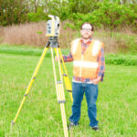
Owning a home is one of the biggest investments you will ever make. Knowing exactly where your property begins—and ends—protects that investment, prevents costly encroachments, and keeps neighborly relations intact. Our Ohio-licensed survey team has guided thousands of homeowners, builders, and real-estate professionals across Canton, North Canton, Massillon, Alliance, and the greater Akron-Canton region since 1985.
We locate or set every corner with ¾-inch capped steel rods driven below the mow line for long-term stability.
Reference Stakes
Each rod is referenced with a 4 ft. hardwood stake and fluorescent flagging so you can easily spot every corner.
On-Line Visibility
Intermediate stakes dropped along the line give you a clear sight path for fencing, landscaping, or new construction.
Linear Miles Measured
+0
Cubic Yards Measured
0
Drone Flight Time (hr)
+0
Cups of Coffee on Site
0
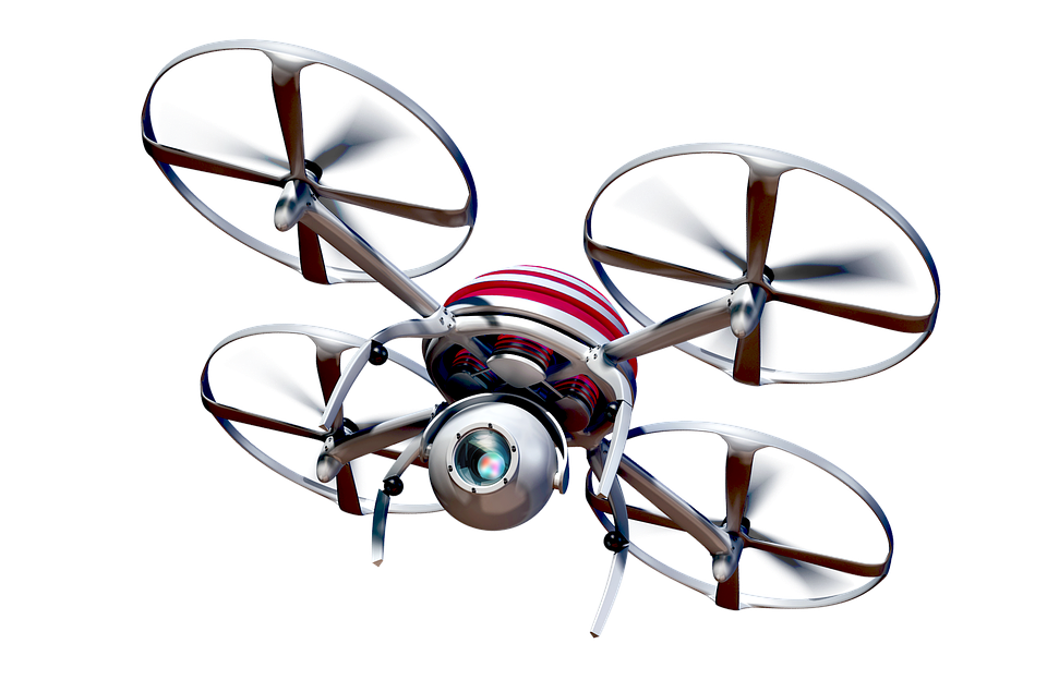
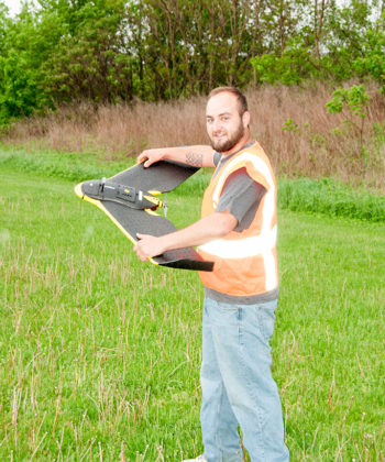
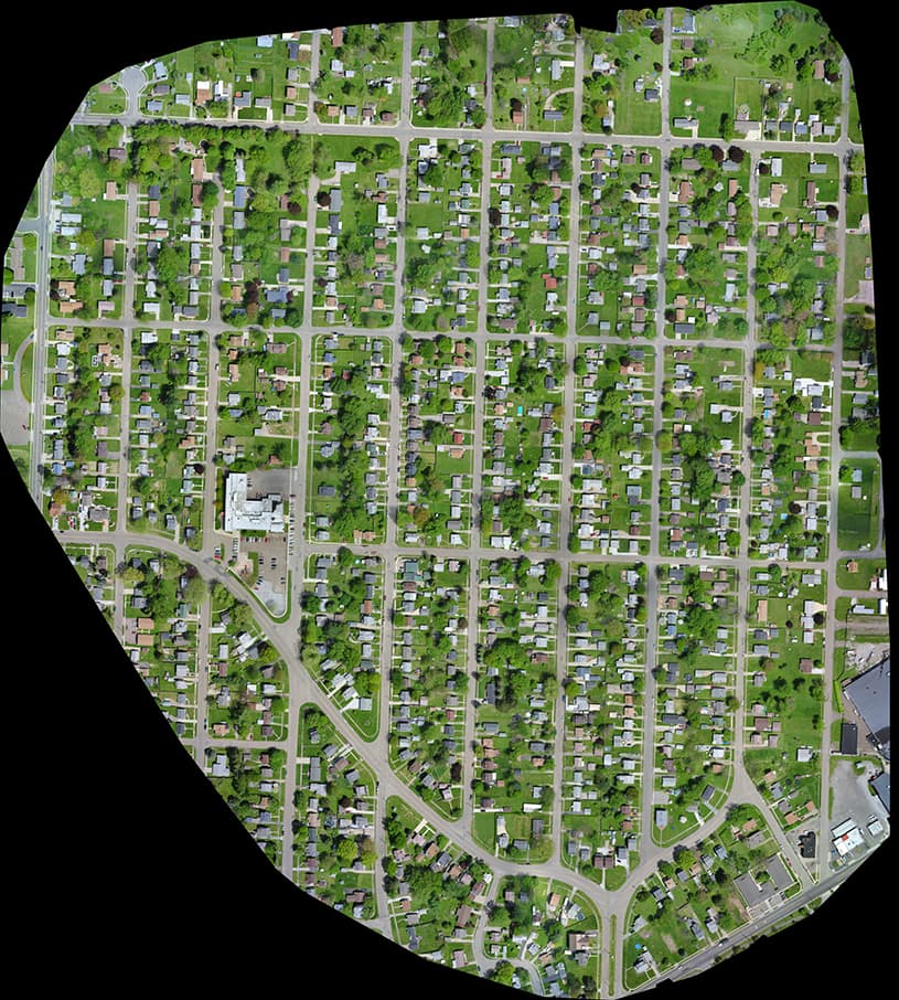
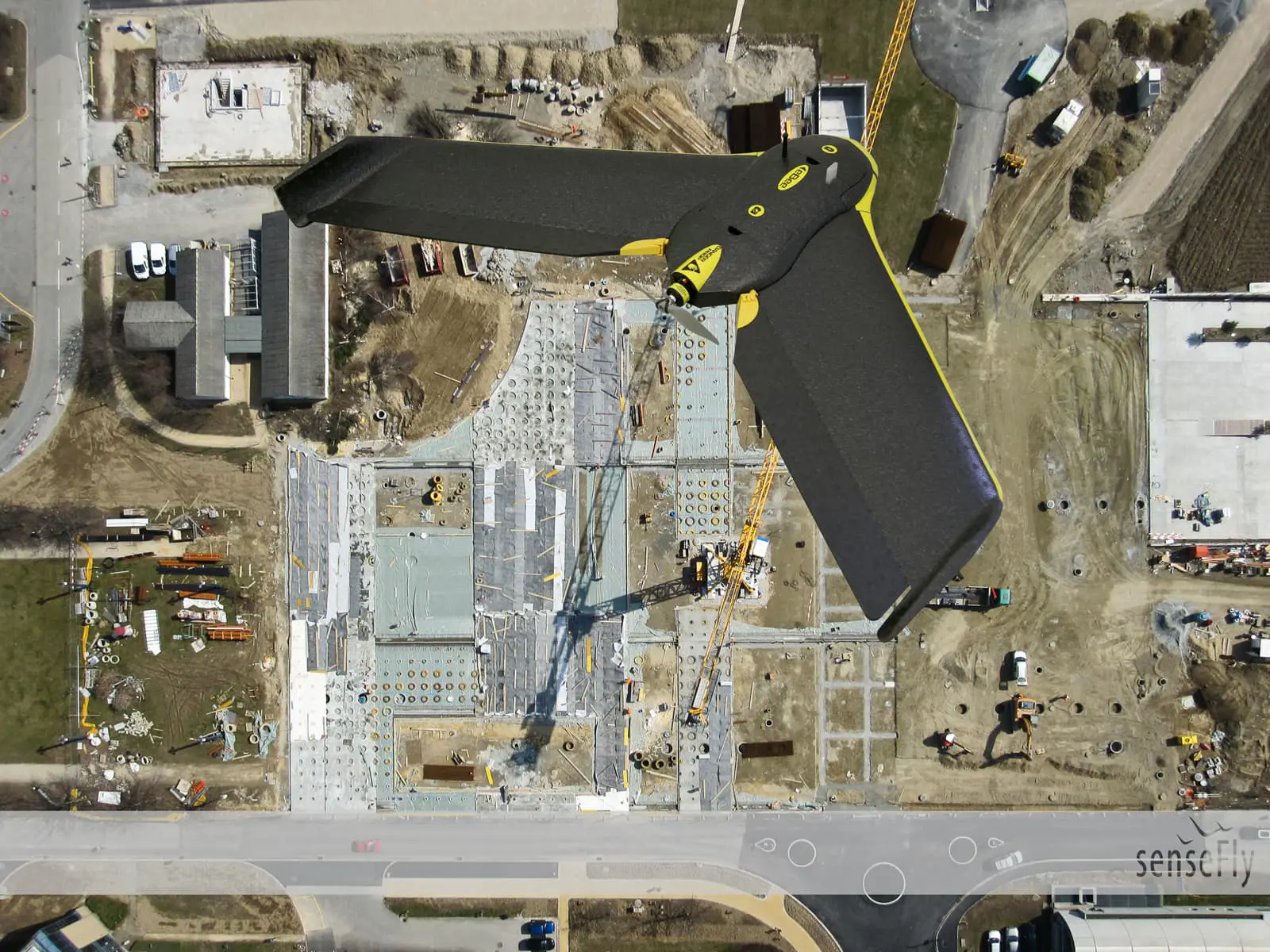
Drone Advantage
When weather cooperates we capture fresh 4K ortho imagery; if skies don’t cooperate, we fall back to the County’s March 2024 aerial set—accuracy never slips.
Buying, selling, or refinancing? We draft lender-ready legal descriptions that tie directly into Ohio State Plane Coordinates, cutting title-company questions to near-zero.
Whether you’re carving off a buildable lot, joining parcels, or simply moving a line to square up a yard, we prepare the plat, new legal description, and all county submission documents. Our long relationship with Stark County RPC and township zoning boards keeps approvals moving.
Partner with a trusted surveying team that delivers accuracy, reliability, and results—on time and on budget.
Whether you’re developing land, planning construction, or need precise data for real estate or environmental work, Deibel Surveying Inc. is here to help.


